Don’t Piggyback the RAC!

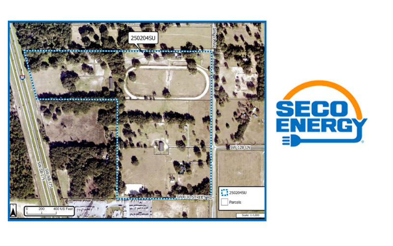
Thomas R. Moore, a landowner abutting the Rural Activity Center (RAC) at the intersection of NW Hwy 225A & NW Hwy 326 (Gilbert’s Hardware), has applied to change the land use and zoning on 19 acres of a 24-acre parcel from Rural/Agriculture to commercial RAC.
The landowner proposes a landscape contractor yard and plant nursery. Don’t be fooled by this attempt to Piggyback the RAC by changing the 19 acres from agricultural to commercial.
If approved, this change would allow this landowner, or any potential new owner, over 35 commercial uses, including many intense uses like large-scale storage facilities and fuel plants, and over 350,000 sq. ft of buildings. These commercial uses threaten the rural character and agricultural integrity of the surrounding farms and the Farmland Preservation Area.
RACs in the Farmland Preservation Area are there to provide needed goods and services that make sense in a rural area. They are limited in size and scope to prevent needless sprawl from eating away at the Farmland Preservation Area. But that doesn’t stop some landowners from trying…
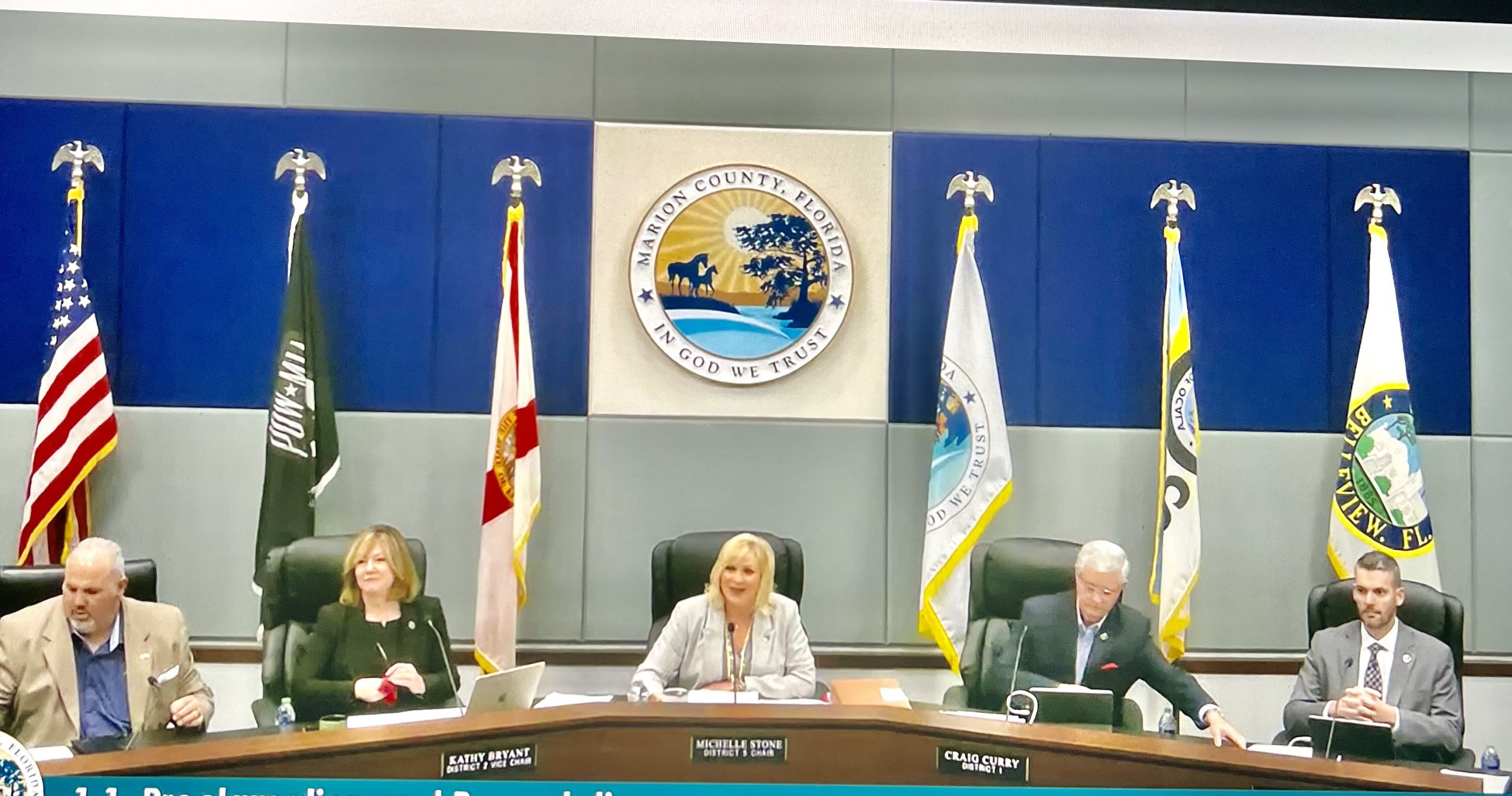
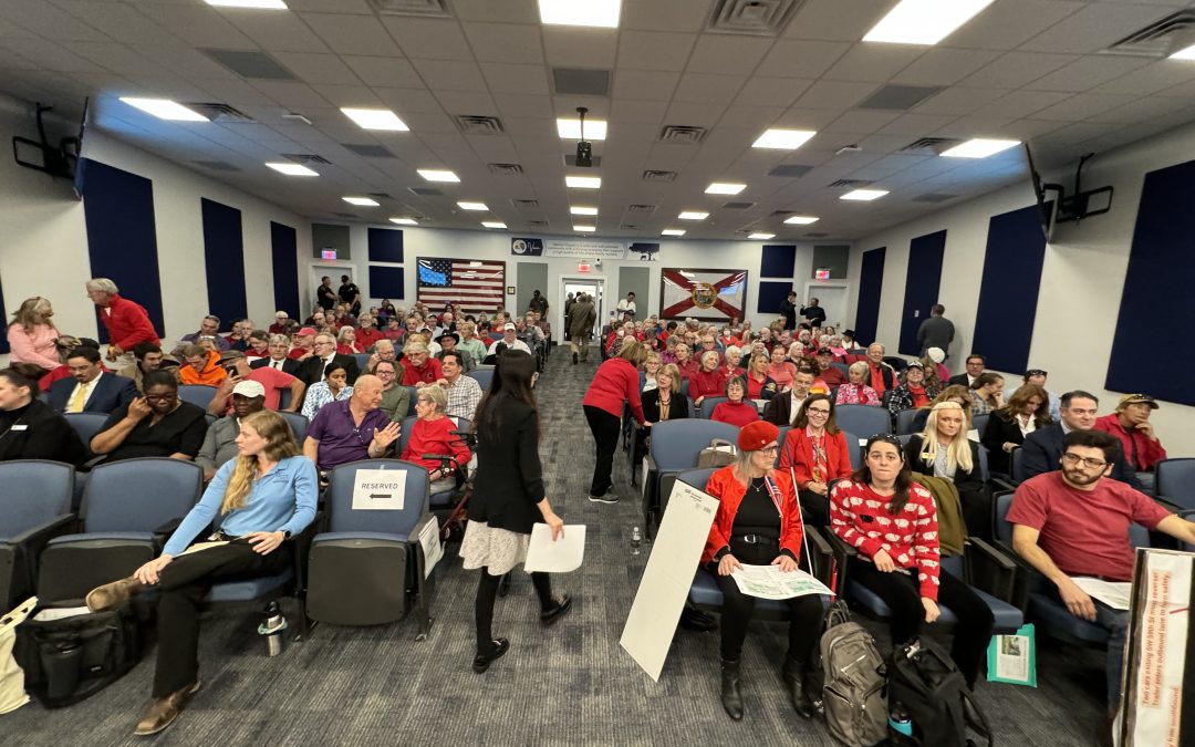
At the January Planning & Zoning Commission hearing, with a denial recommendation from the professionals at Growth Services and strong opposition from Horse Farms Forever and neighbors, the applicant requested a continuance for further review.
In April, Moore reduced the acreage to 18.72 acres from the total of 23.6 acres in an effort to gain a recommendation of approval from the Growth Services staff.
The Marion County Commission voted unanimously to deny Thomas Moore’s proposal to “piggyback the RAC” during the Tuesday, July 15th meeting. This decision helps to protect the FPA from inappropriate commercial development, preserving the rural character of our community.
Always Watching

We work hard to keep you informed, and to represent our members' interests in preserving our horse farms, farmland and the unique character and culture of Marion County's 193,000 acre Farmland Preservation Area.
Join the herd. Every voice matters.


")